Do not cross the yellow line (from the series 38° parallel north), 2019
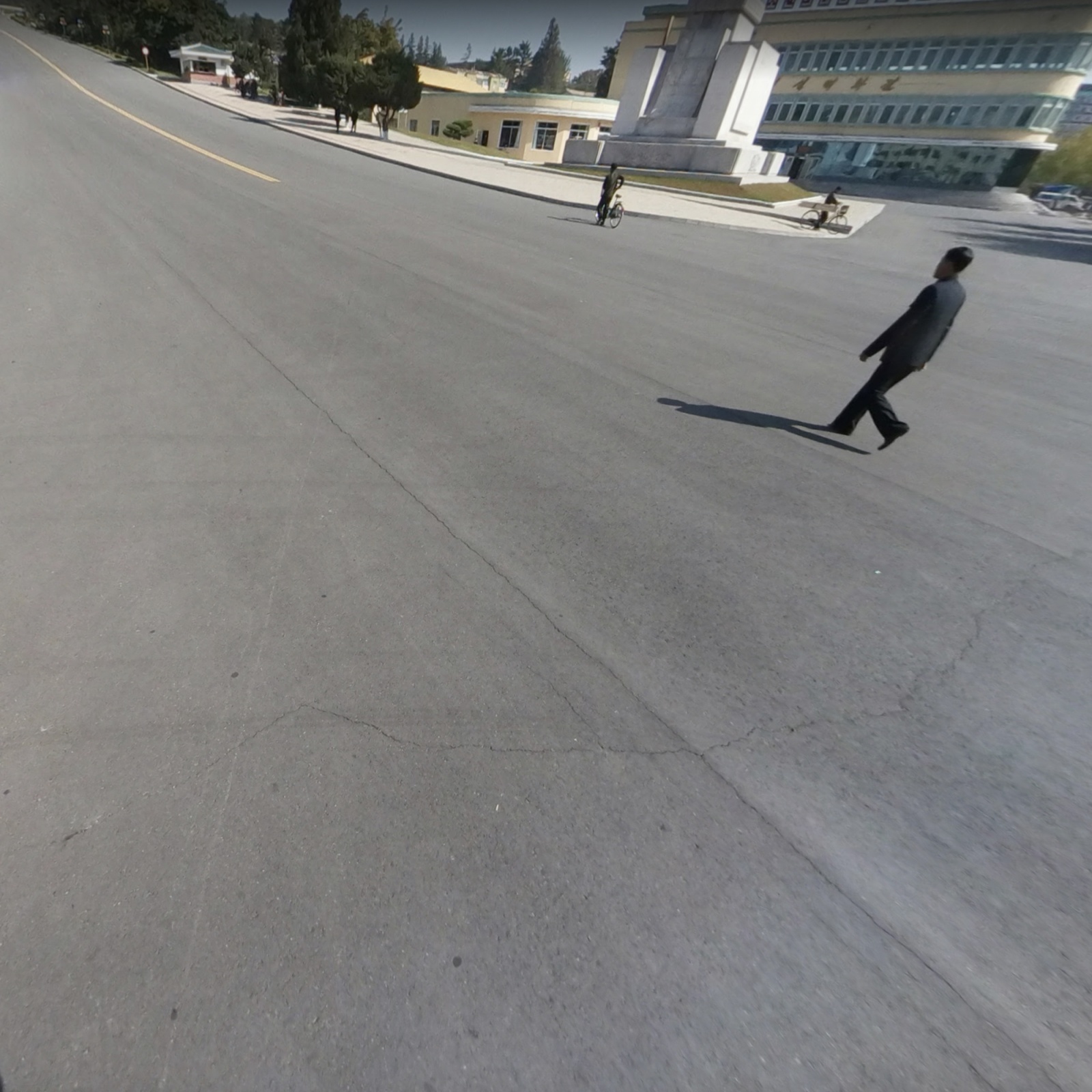
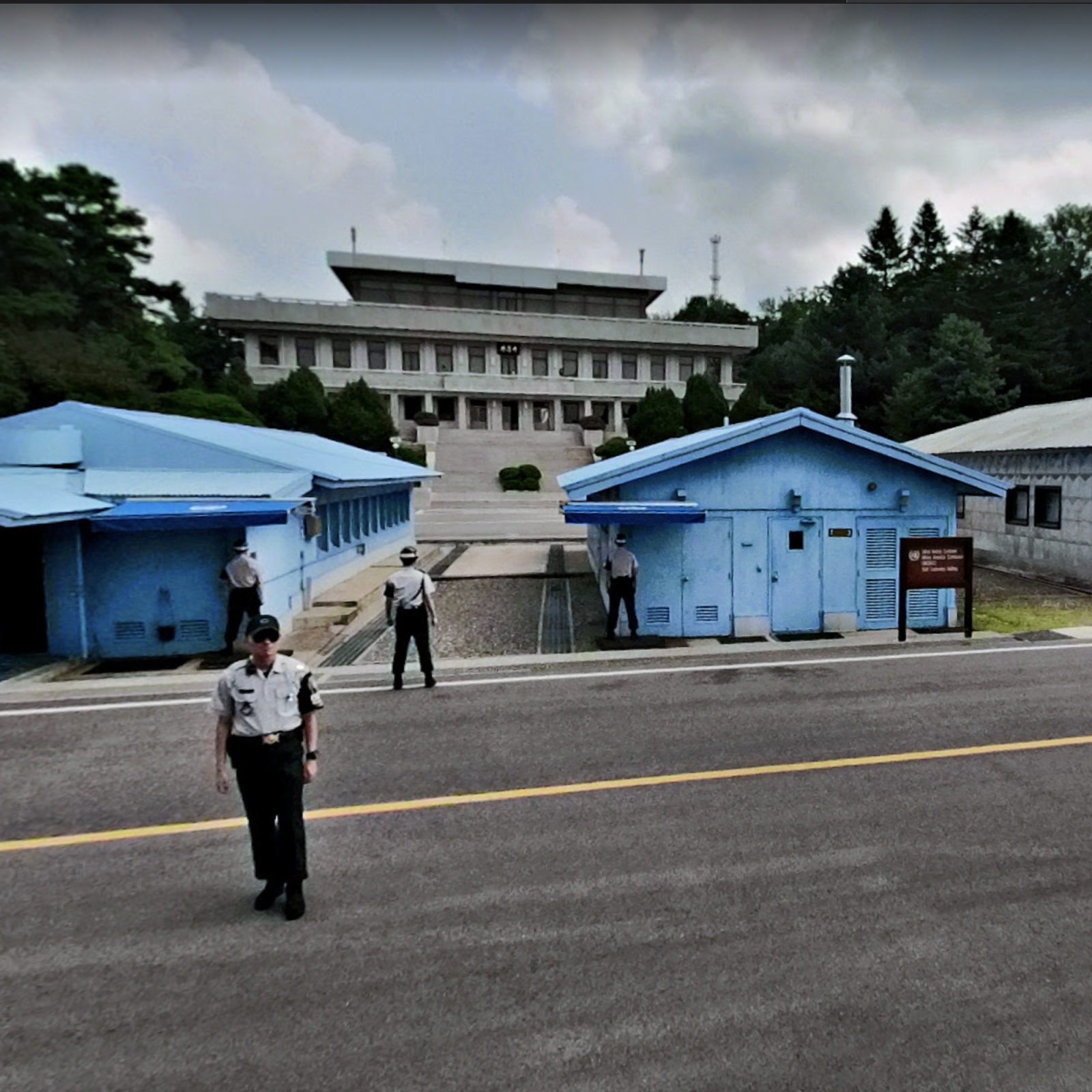
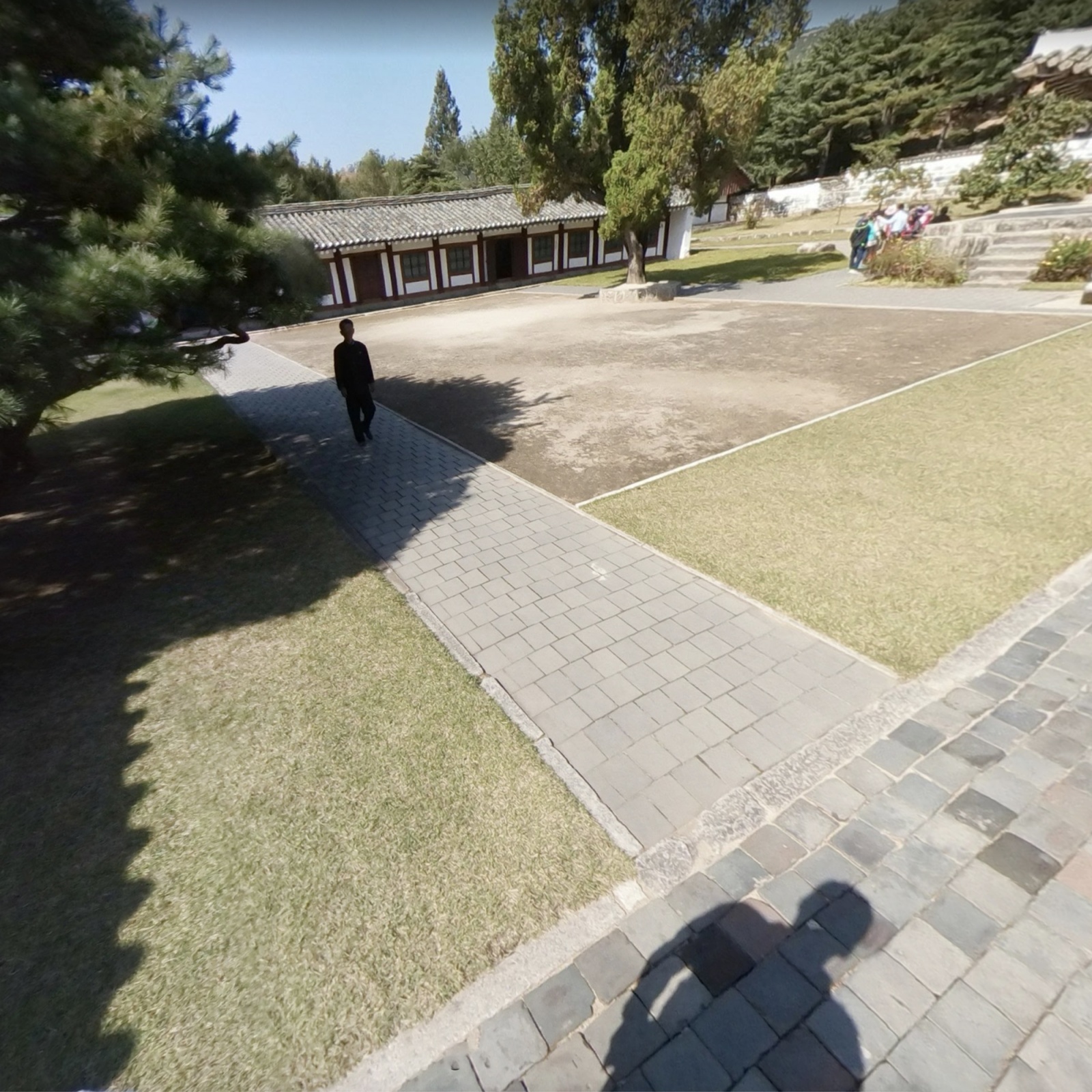
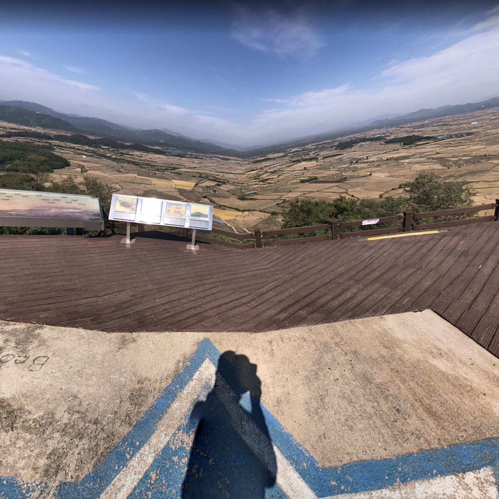
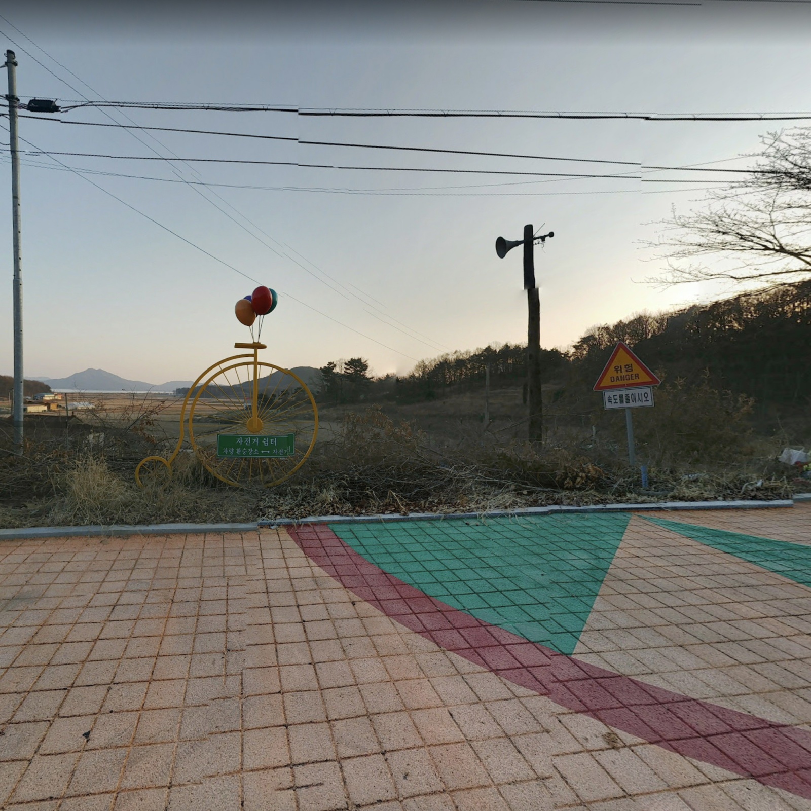
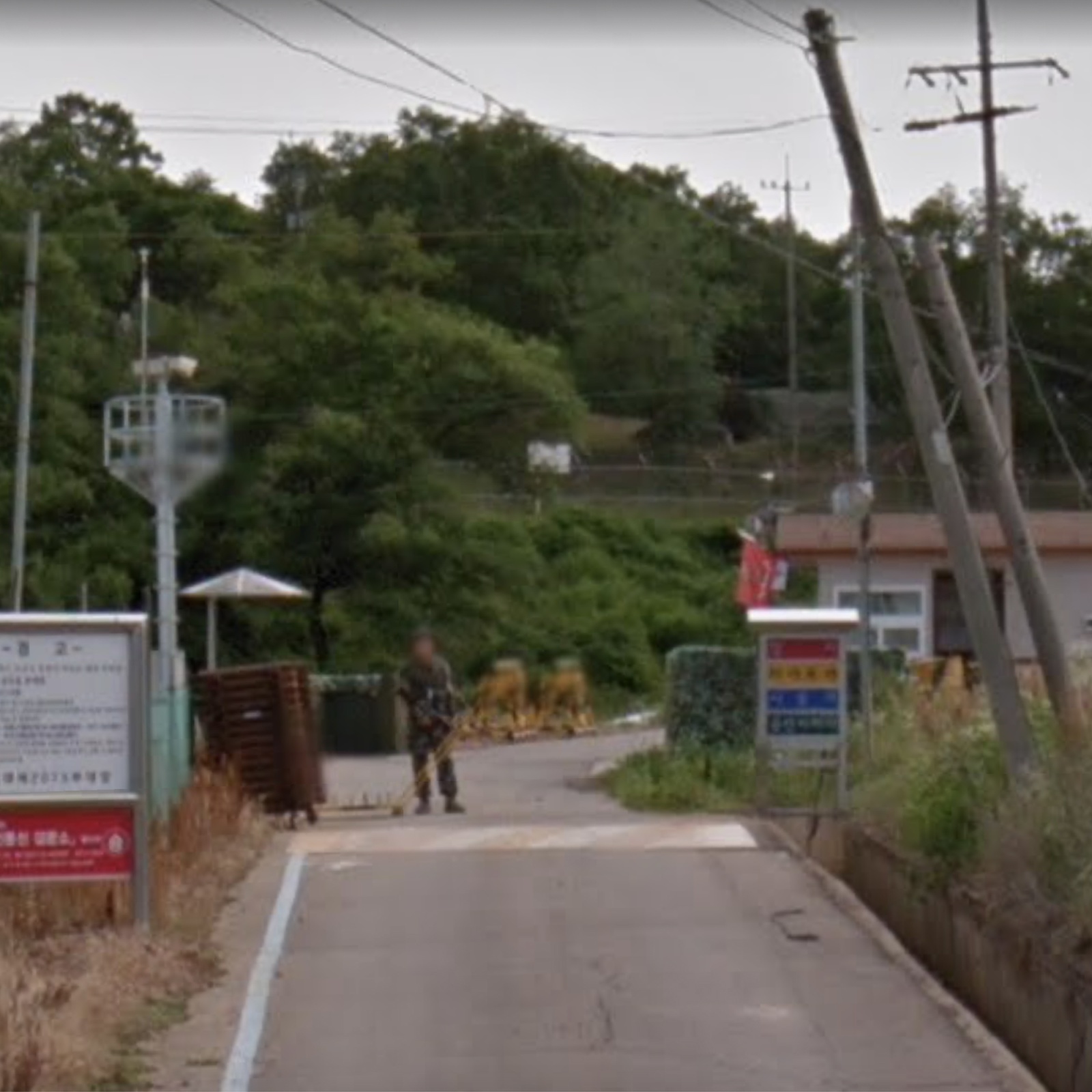
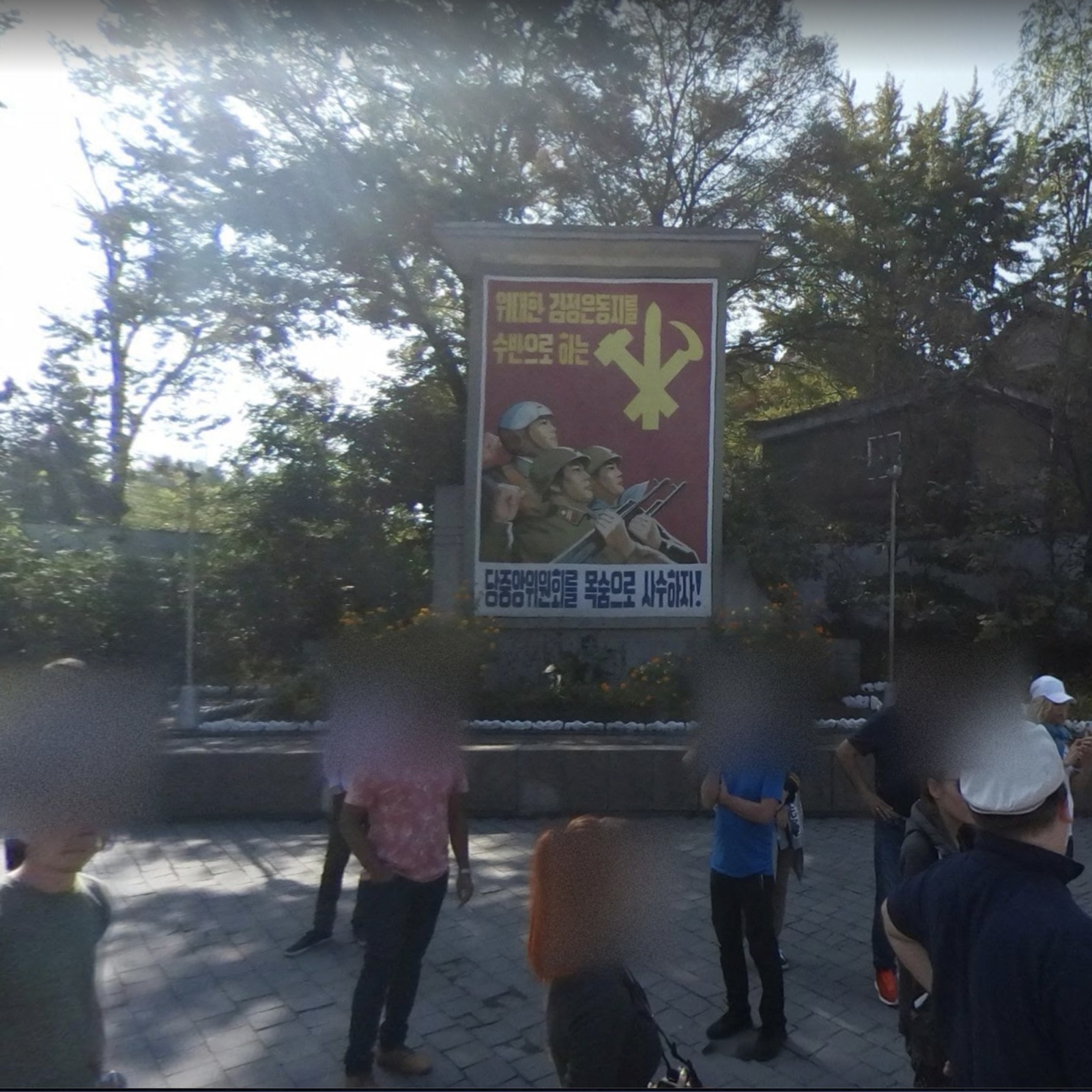
The Korean population, the United States and the Soviet Union decided to occupy their territory and transform it into respective areas of influence, dividing the Korean peninsula in two along the 38 parallel. During the Korean War (1950-1953), the first episode of international tension in the "cold war", the two Koreas fought for supremacy and control of the entire peninsula, But after three years of fighting, hundreds of thousands of lost between military and civilian victims, the two factions used the last battle front as a border. Since then, millions of citizens have been unable to see their family members stuck across the dividing line again. The DMZ (Korean Demilitarized Zone) is the buffer zone between North Korea and South Korea, which intersecting the 38th parallel, divides the two nations into an impassable border 250 kilometers long and 4 wide. Although the border between the two states is inhibited by civilians and armies, the respective borders beyond this area make DMZ the most dangerous and militarized territory in the world. I wanted, through the technology and tools of Google Street View, to make an impossible journey otherwise, going through the most contested territory in the world to "virtually join" two territories separated for 70 years now. A journey through communities, villages, disabled areas and military areas. In "do not cross the yellow line" I narrate a single territory in which daily life flows slowly, in which the soldiers preside over checkpoints and panoramic outposts allow the two sides of the borders to observe each other, at a safe distance. But also a single territory in which horizons appear distorted and a sense of expectation pervades the communities. A desire for union and justice that can only be filled through virtual experience.